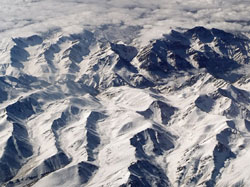
Seeing the snow through the forest
Measuring the amount of snow is useful not only for recreational purposes, but also for hydrologists, climatologists, etc. The scientists involved in the ENVISNOW project took up the challenge of finding new and better ways to measure snow parameters from space. The Finnish Environmental Institute (SYKE), an ENVISNOW partner, focused its attention on Snow Covered Area (SCA) in the boreal forests common to northern Europe. They created a reflectance model that yields SCA after the contributions of apparent forest transmissivity, wet snow, dense coniferous forest and snow-free ground have been accounted for. Its advantage is that it does not require any land-based data, save the designation of water-covered areas (e.g. lakes). SYKE designed the model for use with data from the Moderate Resolution Imaging Spectroradiometer (MODIS) aboard the Terra Earth-Observing Satellite (EOS). However, it can easily be adapted to handle data from other optical instrumentation. Model output can take the form of data files or SCA maps. Flexibility regarding the coordinate system has also been incorporated. Currently, Finland is using the model on an operational basis and transforming the output to its national coordinate system. The spatial resolution of the output is limited to that of the MODIS data, i.e. 500m x 500m. Validation of the predicted SCA with field measurements indicates good model performance. Further tests are scheduled at Finnish weather stations and ski resorts. Future work will also include the integration of the new model into the existing national hydrological modelling system of Finland.


