Preparing Europe’s cities for urban air mobility
In the not-so-distant future, Europe’s urban airspace will be open to new forms of mobility, such as delivery drones and air taxis, with cargo and passenger transport taking place at low altitudes. How can city planners and transport policymakers ensure that the low-level airspace is safe and well organised? The EU-funded AiRMOUR project has developed a tool to help decision-makers prepare for the start of drone technology in their urban airspaces, and to begin to think in three dimensions. “The Geographical Information System (GIS) tool will assist city planners and policy makers to visualise combined ground and air data such as noise, nature protection and mobility hotspots,” observes Business Development Director Benoît Larrouturou of project partner Robots Expert in a news item posted on the project website. Robots Expert is the partner responsible for the GIS tool, which can currently be used for five locations: Helsinki (Finland), Kassel (Germany), Luxembourg (Luxembourg), Stavanger (Norway) and Stockholm (Sweden). “Opening the urban airspace also requires citizens to see value in this type of mobility,” states Larrouturou. “The tool is designed to facilitate the engagement of citizens in that regard. Being able to visualise the impact increases the understanding and allows for more fact-based decision making.” With the GIS tool, new data can be used to enhance the decision-making process. It also allows city planners to take into account a wide range of factors, from air risk mitigation and flight boundary conditions to noise abatement zones, population density charts and seasonal bird nesting areas. Since most of the relevant data already exists in AiRMOUR partner cities, the challenge is to combine it in a meaningful and manageable way.
Emergency drone services in Helsinki
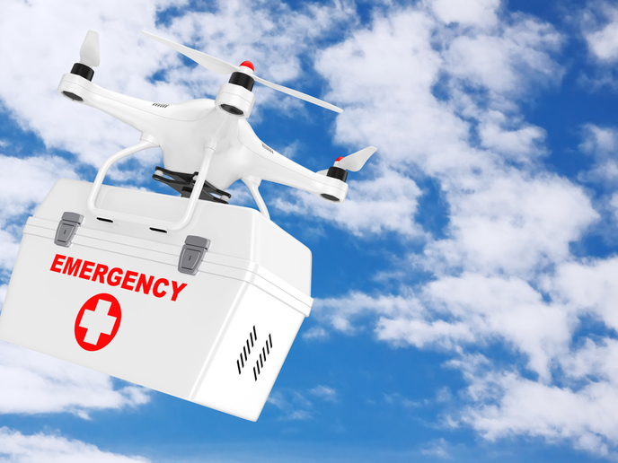
In AiRMOUR partner city Helsinki, project partner Forum Virium Helsinki has been testing aerial drones to analyse traffic flow and create 3D maps of certain intersections and neighbourhoods. “Drone delivery of consumer packages is not of primary interest to the city,” explains Forum Virium Helsinki’s senior project manager for smart and autonomous mobility Renske Martijnse-Hartikka in another news item posted on ‘ComputerWeekly.com’. “Delivering small packages may not justify the cost and the disturbances caused by flying drones. However, delivery of medical products does.” This view aligns with the AiRMOUR project’s focus, which is urban air mobility in emergency medical services. In addition to large passenger drones that can rapidly transport doctors to remote locations in emergency situations, the AiRMOUR team is also exploring the benefits of small medical delivery drones. These can be used to efficiently carry blood or tissue samples from hospitals to labs, or deliver automatic emergency defibrillators to random locations. “Our research will shed light on different aspects of these emergency medical drone flights,” notes Martijnse-Hartikka. “Managing routes is a big area of concern. The more drones you have in the air, the more likely you will have conflicts. You need some air traffic management, and you need landing sites – including sites for emergency landings.” According to Martijnse-Hartikka, the AiRMOUR (Enabling sustainable AiR MObility in URrban contexts via emergency and medical services) project’s first real-life pilots or demos will probably be run in Stavanger in the second half of 2022. “We are also trying to push this forward in Helsinki, hopefully towards the end of this year or the beginning of 2023.” For more information, please see: AiRMOUR project website
Keywords
AiRMOUR, urban airspace, air mobility, drone, city, geographical information system, GIS, medical services


