Training the next generation of geospatial scientists
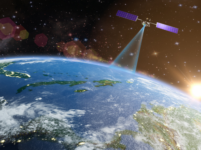
While the mining sector’s focus may be on the natural resources found under the Earth’s surface, its work is heavily dependent on information derived well above ground – from space. In fact, mining companies have long used such geospatial technologies as Global Navigation Satellite Systems (GNSSs) and Earth Observation for everything from surveying sites to accessing remote areas, managing activities and even operating machinery. This same technology can also be used by researchers and regulators to study and help mitigate the effect mining activities have on the environment. But as the geospatial field continues to evolve, with new technologies opening the door to new opportunities, there is a growing demand for new talent. Helping to meet that demand is the EU-funded GATHERS project.
Increasing geospatial capacity and expertise
The project aims to increase the capacity of the Wrocław University of Environmental and Life Sciences (UPWr) to train the next generation of geospatial specialists. “UPWr, through its Institute of Geodesy and Geoinformatics, has established itself as a leading player in the field,” says Maya Ilieva, a UPWr researcher and GATHERS project coordinator. According to Ilieva, the institute has developed a range of groundbreaking GNSS-based algorithms, software and applications for precise point positioning, orbit determination and meteorology – amongst others. “The problem is that our work, along with similar work being done across Europe, tends to be done in a silo,” she adds. “Imagine what we could accomplish if we coordinated our work and shared our expertise?” Instead of imagining, GATHERS decided to find out.
A pan-European scientific and educational network
With the support of the European Commission’s Widening Participation and Spreading Excellence (twinning actions), the project created a scientific and educational network between UPWr and some of Europe’s leading universities in other geoscience fields. Specifically, the network included: the Technical University of Delft, a world leader in the use of interferometric synthetic aperture radar for registering areal surface deformations; the Technical University of Vienna, which is renowned for the development of innovative light detection and ranging (lidar) techniques; and Sapienza University of Rome, a pioneer in the use of the variometric approach in GNSS seismology. “Together, we set out to build a sustainable method for integrating these different techniques and then training early-stage researchers in using them,” explains Ilieva.
Positioning Europe as a geospatial leader
The outcome has been impressive, with the project conducting 25 training sessions for UPWr staff, including nine experienced researchers, nine early-stage researchers, and seven Master of Science students. Thanks in part to these activities, one of the participants has gone on to become a professor, whilst others are in various stages of their PhD and postdoc work. Furthermore, strong research groups were established between the various project partners – with plans for continuing this collaboration into the future. These groups are already coordinating several joint research projects and have co-authored over 10 scientific papers. “The GATHERS project has enhanced the knowledge and capabilities of UPWr, positioning it as a leader not only in GNSS, but in the geosciences,” concludes Ilieva. “But most importantly, it has created a network of well-trained scientists ready to position Europe as a global leader in the use of geospatial technologies within the natural resources sector.”
Keywords
GATHERS, geospatial, scientists, twinning, mining, space, GNSS, Earth Observation


