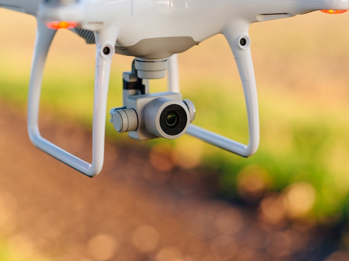
Drone traffic management system could soon bring low-flying vehicles to Europe’s skies
The skies over Europe’s cities could soon be filled with drones. Low-flying drones, either remotely piloted or autonomous, are becoming increasingly popular for commercial and recreational uses. Examples include businesses using drones for deliveries, surveillance as well as fire and rescue missions. One of the main challenges for their integration into urban environments is social acceptance. The concerns are mainly based on either safety due to potential crashes, or privacy, as drones carry cameras and sensors and can fly over private property easily. Systems for drone traffic control and management could help with civilian safety and provide ways to limit or restrict access. Drones could share the same airspace as the aviation industry, as well as additional airspaces. The EU-funded MoNIfly project has developed and demonstrated a drone traffic management system based on existing mobile network infrastructure. The team hopes that it will one day be deployed across Europe’s cities and elsewhere in the world. “Some of the concerns in the general public are noise- and privacy-related. With our traffic management system, residential areas could be covered with an area that prohibits drone flights. These areas could also be time-limited, so for example during normal office hours, drones could fly there, but in the evening, privacy would be respected and noise would not matter anymore,” explains Björn Blom, senior researcher at TU Braunschweig, and project manager of MoNIfly.
Virtual fences
MoNIfly is an automatic system that uses information from constantly updated databases. It is based upon the concept of virtual barriers, which monitor and restrict the movement of drones within certain areas. These so-called geofence applications work much in the same way physical fences do around a property, but function when a drone or similar vehicle passes through into a specific zone. Restrictions can be defined to interact with specific objects or to work at certain times during the day. “Once a violation is imminent, the MoNIfly system will send commands to the vehicle to steer clear of the geofence. With moving vehicles, also referred to as manned traffic, the same principle applies. The manned traffic is guarded by a restricted zone and any drone coming into conflict with this zone is guided by the MoNIfly system to keep clear of the manned traffic,” says Blom. MoNIfly could reduce crashes not just with other vehicles but also with obstacles in urban areas, while restricting access to private areas such as houses, gardens, accident sites or sensitive government areas.
Tests ongoing
The team carried out a successful validation trial of the MoNIfly system late in 2019, however bad weather prevented testing using the official research aircraft, so another drone was used to imitate a manned aircraft for the system. Another test planned for March 2020 was postponed due to travel restrictions brought on by the coronavirus pandemic. As a mitigation measure, some smaller validations were conducted in Czechia on the fly, which showed how easily such a system could be introduced to any area in Europe. More work is planned to improve the evasion algorithm. “In the MoNIfly project, we did not cover the handling of obstacles for the evasive manoeuvres. So when it comes to cities with high-rises, the approach needs some refinement. For smaller cities, the system could be deployed without much effort,” Blom notes.
Keywords
MoNIfly, drone, traffic, management, system, urban, cities, safety, privacy, geofence


