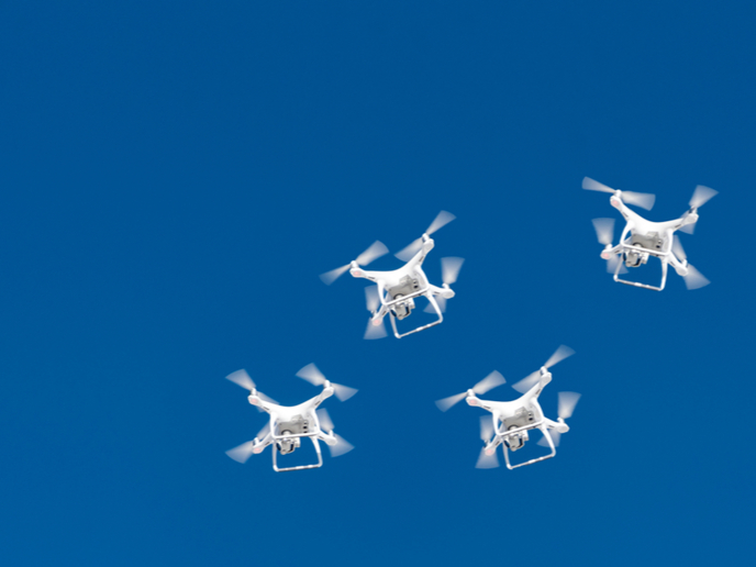
Helping drone swarms navigate the skies safely
Drones are a fast-growing sector in Europe, providing services in many different environments, especially urban areas. The Single European Sky ATM Research (SESAR) Joint Undertaking – the technological pillar of the EU’s Single European Sky initiative – predicts that about 200 000 commercial and government drones will be in use by 2035, and 395 000 by 2050. But when the time comes that multiple drones navigating the skies above us become a common sight, how will drone traffic jams and collisions be prevented and managed? With such a future in mind, researchers supported by the EU-funded LABYRINTH project have designed, implemented and analysed a path planning and collision avoidance strategy for multi-drone systems in 3D environments. “The project’s main objective is to integrate a certain degree of automation, so that an operator can control a small fleet of up to 10 drones from a single ground station,” explains Luis E. Moreno of LABYRINTH project coordinator Universidad Carlos III de Madrid (UC3M) in a news item posted on the ‘Space War’ website. “The idea is that the operator indicates the mission to be undertaken (for example, monitoring traffic in a particular area) and the system automatically converts this mission into a set of routes that each drone has to follow, automatically calculating alternative routes when necessary.”
Zones, routes and traffic restrictions
To develop their strategy for planning routes and preventing collisions of drone swarms, the research team began by designing a 3D model that simulates an urban environment in which they established two take-off and landing zones. The drones were then made to carry out outbound and return missions to and from randomly chosen points. Smooth, optimal paths (in terms of both distance and time) were calculated for the vehicles using a planning algorithm called Fast Marching Square that easily incorporated other traffic restrictions. Such restrictions included establishing flights at different altitudes to ensure a certain safety distance between drones and special management of traffic in areas close to take-off and landing zones, and in areas near mission goal points. Distance checks for conflict identification and priority-based speed control were used to deal with conflicts that couldn’t be resolved using these measures. The LABYRINTH (UNMANNED TRAFFIC MANAGEMENT 4D PATH PLANNING TECHNOLOGIES FOR DRONE SWARM TO ENHANCE SAFETY AND SECURITY IN TRANSPORT) study has been published in the journal ‘Sensors’. The strategy described is being developed as part of U-space, a new system designed to support safe, efficient and secure access to airspace for large numbers of drones. The aim is to create the conditions needed for manned and unmanned aircraft to operate safely and to prevent collisions between drones and other aircraft. Francisco Valera, also of UC3M, notes: “Air controllers use ATM (Air Traffic Management) to safely manage the traffic of commercial aircraft. Similarly, developing an Unmanned Traffic Management (UTM) system that allows drones to share airspace with other drones and aircraft is imperative.” For more information, please see: LABYRINTH project website
Keywords
LABYRINTH, drone, drone swarm, traffic, transport, aircraft, collision avoidance


