Firing up to fight wildfires
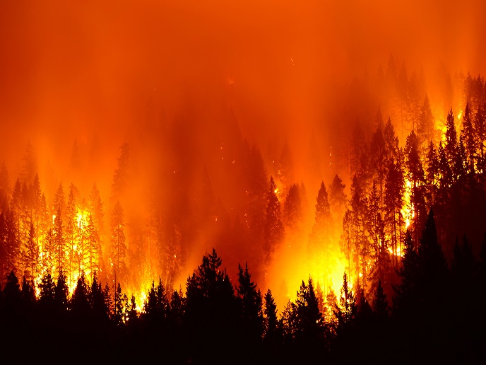
Wildfires are becoming a major threat worldwide. In Europe alone, they are responsible for around 85 % of annual burned areas. To help address this problem, the EU-funded FIRE-RES project is developing an integrated fire management strategy that will focus on fire prevention and preparedness, detection and response, and restoration and adaptation. As part of these efforts, FIRE-RES project partner University of Padova, Italy, has developed a mobile app that will help improve Europe’s forest fuel maps. Called the FIRE-RES Geo Catch App, this user-friendly solution will make it possible to assess fire risks more accurately, and therefore plan more efficient preventive measures. Mapping fuel types across vast forest areas is often challenging because of the limited ground-based data available for model training. Although satellites, drones and other remote sensing technologies have improved our ability to map vegetation parameters, predictions based on them can still have errors, especially at large scales when there is no control data.
Quick, simple and reliable data collection
So how does the FIRE-RES Geo Catch App tackle these problems? As reported in a news item posted on the project website, it incorporates mobile-based surveying approaches. “By conducting field inventories using mobile devices, the app enables the collection of reliable data that accurately represents the real-world variability of fuel types and landscapes. Its primary objective is to provide a quick, simple, and reliable mean [sic] of collecting oriented and geolocated images, ensuring consistency across large areas and capturing a comprehensive range of European fuel types and landscapes.” The news item describes what happens after the images are gathered: “The collected images are interpreted by experts using an online web-GIS and standard guides to classify them into fuel types. To ensure the highest quality in the images, they need to pass a rigorous clean-up process before moving forward.” Each image is then interpreted by multiple experts to enable consensus checks among them. “In cases where interpretations differ, further interaction among experts is conducted to reach a consensus. This rigorous process ensures the generation of a robust pan-European fuel map during subsequent research conducted by the project.” The app can either be downloaded or used in your browser by clicking this link. There are also guidelines available on its use. Another tool in FIRE-RES’s firefighting toolbox is the Fire Education Platform. Currently being developed by project coordinator Forest Science and Technology Centre of Catalonia, Spain, and three project partners, the platform will gather and share knowledge and best practices on wildfire management across multiple countries. The online tool will cater to policymakers, teachers, students, local communities and the general public. “Its primary objective is to delve into the concept and extent of fire culture in Europe and beyond, exploring topics such as fire ecology, fire risk, and the social dimension of wildfires … Through an interactive model, citizens and scientists from various countries will contribute their local knowledge, covering different stages of the fire cycle,” reports another FIRE-RES news item. The Fire Education Platform is expected to be launched in 2024. It will be available in five languages, and access will be free. The FIRE-RES (Innovative technologies and socio-ecological-economic solutions for fire resilient territories in Europe.) team is currently conducting a survey to find out the views of the platform’s future users on wildfires. For more information, please see: FIRE-RES project website
Keywords
FIRE-RES, forest, fire, forest fire, wildfire, fuel map, fuel type, firefighting


