Understanding our forest resources
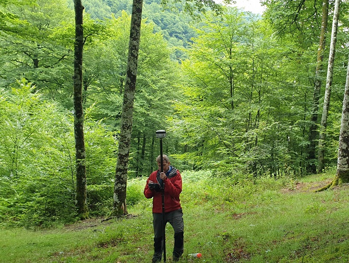
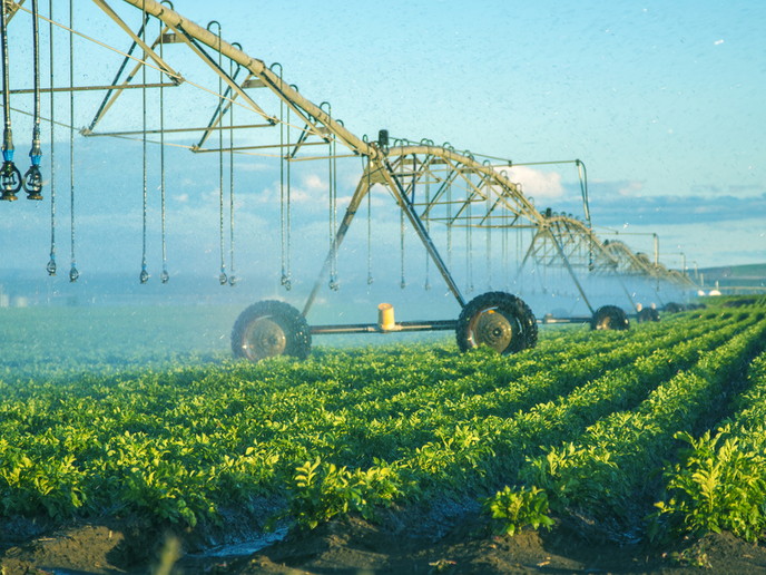
Forest inventory is an important tool in forest management as it provides data on forestry resources within a given area. However, traditional forest inventories are expensive and time consuming, and any delays or inaccurate information could lead to costly and poorly informed decisions. Addressing these challenges is the EU-funded FORESTMAP project. “We aimed to lay the foundations for a forest inventory and analysis platform, known as Forestmap, that works in different European countries, with a special focus on territories with LiDAR (Light Detection And Ranging) data,” outlines David García, business manager of the project.
A clearer perspective of forest resources
Forestmap is an intuitive interface allowing users to generate forest inventories of a chosen area without the need of fieldwork. It is inexpensive, fast and reliable. In addition to providing classic information on key forest parameters such as wood volume, species, heights, diameters and spatial distribution, three complementary modules have been implemented. One of them is a fire module, which assesses the fire risk and fire spread in the plot, with the spatial distribution of the risk. “Another module focuses on the assessment of carbon stock, its annual increase and analysis of recent storage losses due to disturbances. A third module provides forest management recommendations, indicating which timber harvests can be made and how much timber can be harvested sustainably,” reports García.
Managing our forests
The platform is operational in eight pilot territories in seven European countries where forest stakeholders can access free of charge (up to three hectares) to make a diagnosis of a specific plot and experience the potential of this technology. The innovation targets the woodworking industries, private landowners, and forest consultants, providing a tool that will increase forest-based competitiveness among SMEs – a key objective of the EU. “Another important result in the project is that we were able to make a forest scanning of specific plots with a high level of precision, which is of great interest to both forest owners and managers, as well as for industries and forestry companies interested in buying timber,” highlights García. This is in addition to providing a tool to assess the forest carbon stock and its annual increase. “We would like to highlight the contribution of the tool to respond to the challenge of forest fires, a growing threat in EU countries. The information provided by the Forestmap platform is very valuable to assess what kind of prevention interventions can be carried out to reduce the risk of forest fires in an area,” explains García.
Expansion to the whole of Europe is on the horizon
“The extension of the platform to the whole European territory is a challenge we want to work on to provide both forest owners and managers with a simple and quick source of information to make decisions,” confirms García. In the long term, the project expects the platform will have an impact on the timber market. “It will help provide industries and forestry companies with highly accurate information applicable to the whole territory to assess the amount of timber available in each plot, in order to make their purchase estimates, timber prospecting and more strategic assessments linked to the availability of the resource in specific areas,” concludes García.
Keywords
FORESTMAP, platform, forest inventory, forest management, LiDAR, timber market, SME, fire risk