Coastline flooding threat assessed from space
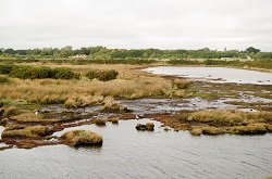
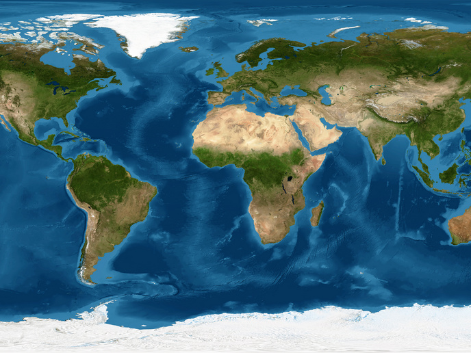
Coastal, marine and riverine ecosystems benefit society by delivering ‘ecosystem services’, like carbon storage, support for sustainable fisheries and acting as a protective buffer between the sea and the land. However, marine foreshores are not currently included in water safety assessments and in levee design, and river floodplains are only managed to maximise river discharge capacity. Nature-based flood defence has enormous potential as a sustainable and cost-effective strategy for flood and erosion risk reduction, but it is not widely implemented at present. This is because engineers need trusted and practical tools to provide them with quantitative information on key parameters and foreshore status before adopting a nature-based approach to flood protection. To develop reliable tools, the EU-funded FAST project utilised the services of the Copernicus earth observation (EO) programme to determine the characteristics of vegetated foreshores and help harness their potential to reduce the risk of coastal flooding and erosion. Wetlands measured and modelled Project partners studied ways of measuring aspects of coastal wetlands from the air and space EO data. Project coordinator Dr Mindert de Vries explains, “The aim was to acquire such data at the global level and determine the importance of coastal wetlands to society at specific locations in great detail as well as globally raising awareness of the importance of nature for flood risk reduction.” Know-how from a wide range of disciplines was brought together to develop the MI-SAFE open source open data package of services, which provides users with knowledge, data and modelling services. The main vehicle for accessing and demonstrating these services is the MI-SAFE viewer. “The viewer gives access to a wealth of earth observation information on coastal wetland habitats and storm surge model results and was made available to the public through a freely accessible online service,” outlines Dr de Vries. Researchers conducted a series of standardised measurements on different types of wetlands and assessed their capacity to reduce wave energy and erosion. They also improved current models used to predict wave attenuation by coastal wetland vegetation and ensured computer models can replicate what they measured at these specific locations. “To generate the MI-SAFE package, the FAST project team measured vegetation characteristics, wave attenuation and sedimentation and erosion at eight different coastal field sites in four different countries and in different seasons and compared results to well-known coastal areas worldwide” Dr de Vries explains. From global to local The MI-SAFE package, including the viewer, was developed with key stakeholders, and government, non-governmental, and private sector organisations to perform at various scales. EO data from various sources was transformed into global map layers, such as global vegetation cover, vegetation change and elevation maps for the coastal zone. “At the global scale, we produce brand new and unique EO-based information. On the local scale we deliver highest resolution information relevant for coastal engineers and managers,” says Dr de Vries. By working together with engineers and coastal managers, the platform is developing into a management tool for continually observing and quantifying coastal safety and threats for whole regions of coasts in relation to increasing impact of climate change and sea level rise. “If scientists want to develop natural solutions they need to understand the dynamics of the natural system,” Dr de Vries concludes. “Tools like those developed by FAST can be used for monitoring and forecasting what is happening at the coast, and providing that information to coastal engineers, so that they can achieve their goals."
Keywords
FAST, flooding, climate change, earth observation, nature based, MI-SAFE


