Leveraging satellite data with the help of AI
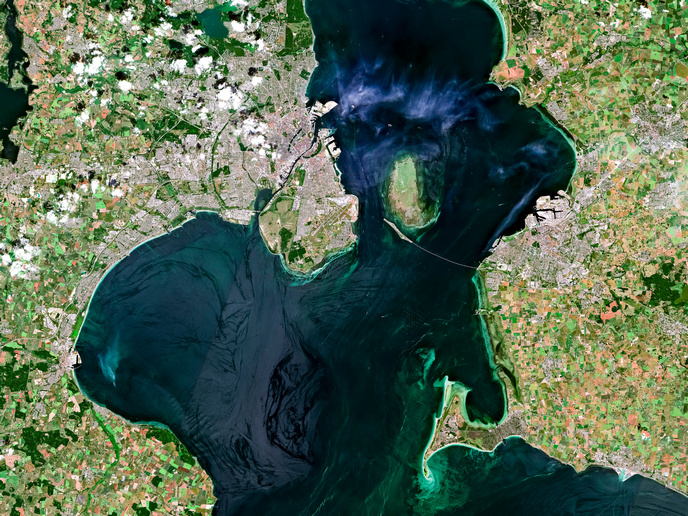
Copernicus, the Earth observation component of the EU’s space programme, provides information drawn from satellites and in situ non-space data. This service delivers critical data used in weather forecasts, farming and natural disaster responses. As part of this service, a family of satellites, called Sentinels, carry out specific land, ocean and atmospheric monitoring tasks. While the information gathered is free and openly accessible to users, the sheer amount of data can be difficult to navigate. “Satellite data archives are growing in volume and diversity,” notes BigEarth project coordinator Begum Demir from BIFOLD and TU Berlin in Germany. “In order to find useful information, we need to develop more scalable data search approaches.”
Searching satellite data archives
The BigEarth project, supported by the European Research Council, developed new methods, approaches and tools to extract information from these existing satellite data archives. The aim was to better leverage the huge amounts of satellite data currently being collected. A key breakthrough was the development of an approach based on querying data archives with images. “Our core competence is in developed machine learning models to analyse large-scale satellite data,” explains Demir. Algorithms were developed to analyse, model and retrieve data from massive archives in a scalable way. The technique was designed to be easy to use and available for researchers across a range of disciplines.
Prototype satellite image search engine
“Let’s say you hear about an Amazonian forest fire on the news,” says Demir. “There might be other forest fires happening, but no one knows about them. By inputting an image of a forest fire, you can search the database for similar events.” Another potential use for this technique is searching for a specific mineral, which might be hidden in satellite data archives. Querying the archive with an example image could help you to locate exactly where this mineral might be found on the planet. The data retrieved will be geolocated and timestamped. While BigEarth was very much focused on the fundamentals of developing new algorithms and query searches, a side project was also launched to develop a workable prototype search engine. This was presented to space agencies, including the European Space Agency (ESA), during a workshop held towards the end of the project. “As a research group, we would have been unable to maintain this prototype search engine,” adds Demir. “Our idea was to see if space agencies like the ESA could build on our existing know-how and add this tool to their services.”
Boosting the Copernicus Data Space Ecosystem
Enabling end users to better navigate the huge amount of satellite data available, and to find what they are looking for quickly and efficiently, is the ultimate goal of the project. This could help meteorologists to forecast weather patterns more accurately, and oceanographers to chart sea temperature changes. It could also help in the precise mapping of habitats and processes such as deforestation. Moving forward, one area of particular interest is how BigEarth’s search engine concept could eventually be incorporated into the Copernicus Data Space Ecosystem. This cloud platform, freely accessible to all, is where Sentinel satellite data is made available. Demir and her team hope that adding queries based on images could significantly enrich the user experience.
Keywords
BigEarth, AI, satellite, climate, Copernicus, ESA, deforestation


