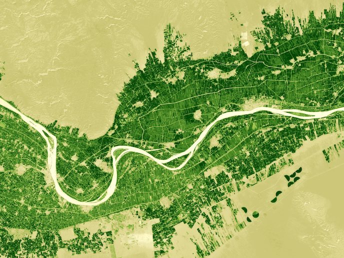
Machine learning unlocks secrets hidden in a whole Earth catalogue
The EU’s Earth Observation Programme Copernicus pulls together continuous, automated and rich data on the planet’s health from a wide array of sources, including satellite imagery, as well as ground- and air-based sensors. While the data is incredibly valuable for everything from disaster response to environmental planning, the sheer volume of it means that there is too much for any single person to examine.
Machine learning
Artificial intelligence (AI) can automate some analysis, sifting through petabytes of data to elucidate relevant and important information. The EU-funded PerceptiveSentinel project developed an intermediate Earth Observation service to unlock the value of the Copernicus data for downstream users. “Machine learning is a well-established field however, these tools are not fine-tuned for the complexity of Earth Observation data,” says project coordinator Grega Milcinski. “The computer vision technologies are optimised for identifying human faces, and cats on social media, not multispectral and multitemporal data from satellites.” By integrating data processing workflows and well-known tools such as Google’s TensorFlow and Microsoft’s LightGBM, Anze Zupanc, scientific lead, and colleagues created eo-learn. This open-source software combined machine learning with Earth Observation and was designed for the scale and complexity of the Copernicus data.
Commercial sector
Even before the end of the project, Dutch satellite navigation firm TomTom adopted some of the work and used it in their own internal research. Using this software, Milcinski says they: “single-handedly processed a couple billion square kilometres of satellite data in order to create a global product for their users.” In fact, PerceptiveSentinel is already generating income based on use of the eo-learn software, with revenue expected to exceed EUR 1 million in the financial year ending 2021. Principal customers are data scientists, in both research and the commercial sector. The project has had over 26 000 downloads and more than 182 developers have created their own branch of eo-learn. “We obviously do not know all the users, as the software is available in an open-source manner so anyone can take it and use it however they want, without informing us,” explains Milcinski. “There are also lots of users, whom we cannot name due to confidentiality.”
Tight cooperation
PerceptiveSentinel was supported by the Horizon 2020 programme and coordinated by the Sinergise Laboratory for Geographical Information Systems in Slovenia. “The funding helped us to put the best resources available into it and push on,” adds Milcinski. “The partners were essential as well, as they provided contributions going beyond our expertise. This kind of tight cooperation would probably not have happened without the project.” He says the public funding also motivated the team to release the software as open-source, to great success. This kick-started a community around the eo-learn software, which continues to grow, many of whom develop into paying customers. Work continues on eo-learn, by both the PerceptiveSentinel team and thousands of third-party users who contribute to the open-source project. “We are confident that the results will live on for many years,” concludes Milcinski.
Keywords
PerceptiveSentinel, Perceptive, Sentinel, Copernicus, earth, observation, machine, learning, eo-learn, satellite


