From single-purpose devices to city-wide mobility improvement
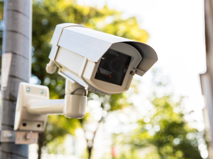
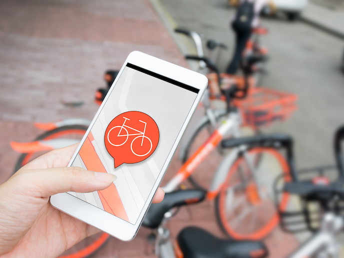
Did you know that we all create an average 1.7 MB of data every second? At the scale of a city where millions of increasingly connected citizens go about their lives, this figure becomes truly mind-blowing. But for public authorities, businesses and other organisations that know how to put all this data to good use, it’s also a goldmine. The transportation sector can particularly benefit from this abundance of data. With traffic jams, pollution and inefficiencies costing billions of euros each year, the SETA consortium believes that better management of data could bring about major improvements. “I believe that the main issue with current data management lies in how this data is collected for specific reasons and then left in databases,” says Fabio Ciravegna, Professor at the Department of Computer Science, University of Sheffield, and coordinator of SETA. “To give you an example, every city has hundreds of street cameras, probably even thousands. But each of these cameras is only used for a single purpose such as security or traffic, whilst it could in fact be used for many different purposes.” The truth is, we are not there yet. Technical, administrative and political barriers often prevent the integration of existing datasets. At the same time, the large-scale nature of the data and its heterogeneity makes its reuse very difficult. SETA solves this problem by integrating the data from road, bike, citizen and environmental sensors. Its technology can collect, process, link and fuse high-volumes of heterogeneous data and use it to model urban mobility. According to the project consortium, it also does so with a precision, granularity and dynamicity that would be impossible to achieve with state-of-the-art technologies. SETA’s mobile technologies can monitor people’s mobility, and it has already released its apps to hundreds of thousands of citizens in England, and thousands in Spain. In parallel, the project consortium has also developed technologies able to turn every street camera into the equivalent of a loop sensor – that is, a camera able to determine vehicle speed and count. All data collected is then stored and brought together thanks to dedicated fusion and modelling technologies. “We have used advanced neural networks for image analysis, large-scale architectures for data integration, advanced mobility models for tracking mobility via mobiles, and large-scale mobility modelling techniques,” explains Prof. Ciravegna. “The anonymised data is collected by our architecture via mobile phones, sensors, etc. It is made available to the fusion and modelling algorithms. A platform for data and visual analytics then provides city managers with insights into city-wide mobility.” While existing methods only allow for modelling in core parts of the city with high granularity, SETA does so for entire metropolitan areas. SETA’s technology has already been adopted by a major governmental customer in England. It has used it to track hundreds of thousands of citizens for health and wellbeing purposes. The technology has also been adopted by the Birmingham City Council to track its 8 000 free bikes. Both activities will continue after the project’s completion. The University of Sheffield – which developed the citizen tracking technology – is planning to create a spin-off company. Applications in health and wellbeing, pharmaceuticals and mobility are expected. The project’s video detection system is commercialised by Machine2Learn, the large-scale data city models by Aimsun (they are already used by several cities), and the large-scale infrastructure by Software Mind. Finally, methodologies for tracking car journeys are developed by The Floow Ltd.
Keywords
SETA, mobility, sensors, data, transportation, neural networks


