Satellites help predict sea ice hazards
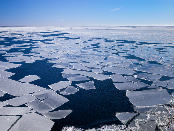
Climate warming causes the shrinking and thinning of pack ice, allowing greater extent of shipping and an increase in oil and gas exploration and mining activities in the Arctic. However, severe sea ice conditions still exist, and their monitoring is needed. In general, sea ice hazards are related to sea ice thickness and deformation. The EU-funded Horizon 2020 SPICES (Space-borne observations for detecting and forecasting sea ice cover extremes) project focused on detecting sea ice cover extremes and the automatic production of ‘sea ice warning’ products. “These products are based on a wide variety of Earth Observation (EO) data obtained from space-borne sensors, and numerical weather prediction (NWP) model data,” says project coordinator Dr Jari Haapala. “We also used a variety of in-situ snow and sea ice data as well as airborne remote sensing data to develop and validate sea ice products,” he adds. Ice thickness measured Ridges form on top of the sea ice when wind and ocean currents force ice floes together, creating major obstacles to shipping, and are automatically detected via satellite images. Project partners developed a new algorithm to detect ridging intensity from synthetic aperture radar (SAR) images, proving an important new parameter for ice navigation. The European Space Agency’s CryoSat-2 satellite was designed for climate research. However, scientists found that daily trajectory data of sea-ice thickness can be used to detect extremes in sea ice cover. “We developed a new product for assessing regional thickness changes with daily resolution as well as for detecting thick ice with high resolution,” claims Dr Haapala. In the marginal ice zone, where the transition from open ocean to sea ice takes place, ocean waves form ‘pancake ice’ featuring elevated rims. SPICES successfully used new field data to develop algorithms for detecting pancake ice, which can be driven by waves towards the pack ice, where it piles up and freezes, adding to its thickness. New mapping techniques Researchers also used Sentinel-1 SAR data to develop a new method for mapping the extent of the ‘fast ice’, which covers the seawater but is ‘fastened’ to the Arctic coastline. In addition, scientists improved the use of MERIS, a medium resolution imaging spectrometer and Ocean Land Colour Instrument sensors for detecting inter-annual and regional variability in pack ice albedo (the ability to reflect sunlight that would otherwise be absorbed and cause warming) and melt ponds. Finally, researchers integrated sea ice products into prediction models. “Numerical experiments with European Centre for Medium Range Weather Forecasting (ECMWF) seasonal prediction models suggest that using sea-ice thickness observations leads to improved seasonal forecasts for years with extremely low extent summers of sea ice,” Dr Haapala points out. The products can be integrated into operational service chains by the European Organisation for the Exploitation of Meteorological Satellites Ocean and Sea Ice Satellite Application Facility, national Ice Services and the Copernicus Marine Services. Dr Haapala envisages a large potential market for seasonal sea ice forecasting services. “The service could be based on a partnership between the ECMWF and national forecasting centres or private companies, with the ECMWF providing global forecasts, while scientific institutions and SMEs supply tailored products and service to the clients,” he concludes.
Keywords
SPICES, sea ice, polar oceans, Sentinel, CryoSat, sea ice classification, ice thickness, albedo, seasonal forecasting


