Wildfires of the past
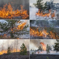
Scientists expect that climate change will alter the distribution and occurrence of wildfires. One way to study the interaction between fire and climate is by researching past fires from periods of different climates. To reconstruct ancient fire records, scientists have mostly relied on an abundance of fossilised charcoal as a measure of past wildfire activity. However, factors other than fire activity influence fossilised charcoal abundance. This therefore makes it difficult to relate charcoal abundance back to fire activity. Researchers from the EU-funded PYROMAP (Palaeofire danger rating maps and Earth's last major global warming event) project took up this challenge by investigating how fossilised charcoal particles are formed. They also researched an alternative method for estimating past fire activity. By studying the shapes of fossilised charcoal particles, the scientists found three factors that affect their formation: the vegetation type the charcoal came from; the dynamics of the fire that created it; and how long it was transported for. These three factors also influence how much charcoal is deposited in fossil records. Therefore, the shape of a fossilised charcoal particle can tell researchers about its formation and how to interpret its abundance in fossil records. This shows that scientists studying past fire activity should assess not only the abundance of fossilised charcoal but also its shapes. The PYROMAP researchers also looked at using fossilised leaves from a specific location to infer information about its climate in the past. This in turn can inform them about the risk of a wildfire forming there at that time. These findings improve our ability to interpret fossilised charcoal abundance and to quantify past fire activity. This will help researchers understand wildfire activity in the future, under the influences of climate change.
Keywords
Wildfire, climate, fossilised charcoal, PYROMAP, past fire activity


